SERVICES
Site Preparation
Perform localization of site, using State Plane Coordinates or Local Coordinates
to design/project specifications. Strip site of vegetation.
Perform on the ground or Ariel TOPO of site, using State Plane Coordinates or Local Coordinates.
Convert Topo information to AutoCAD Civil 3D model.
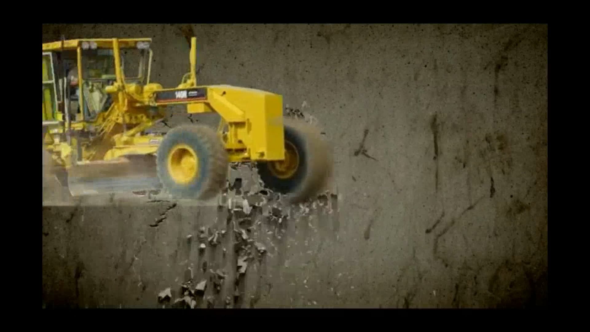
Machine Grade Control
Convert and load 3D model to Topcon Machine Grade Control System.
Land Clearing
Land clearing, tree removal and stump grinding.
Excavation
Rough grade to design specifications.
Grading And Compaction
Fine grade and compact pad and other areas to design/project specifications.
Moisture Conditioning
Moisture condition pad and/or other areas to design/project specifications.
Existing Pond Expansion
Model existing pond and calculate new pond requirements per customer specifications.
New Pond Excavation
Model pond area and calculate new pond requirements per customer specifications.
Land Clearing, Tree Removal and Stump Grinding
Tree and Brush removal.
On-site burning(where permitted).
Haul Off.
Chipping.
Stump Grinding.
About Us

GPS TOPO's
We use the latest Topcon survey and Grade Control equipment.
3D Models built and verified in house.
Equipment
CAT and Komatsu
3D Model
Existing pond expansion.
Contact Us
Bill Miller
Call anytime, day or night...
214-325-3955
Copyright © 2024 Miller & Miller Custom Services, LLC. - All Rights Reserved.
MMCSGC.COM